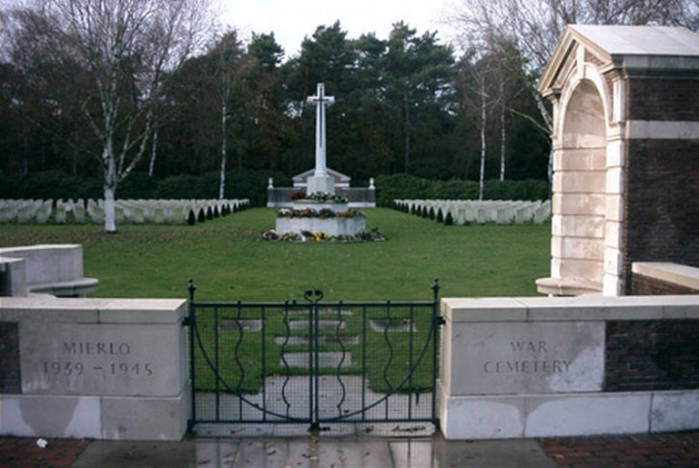
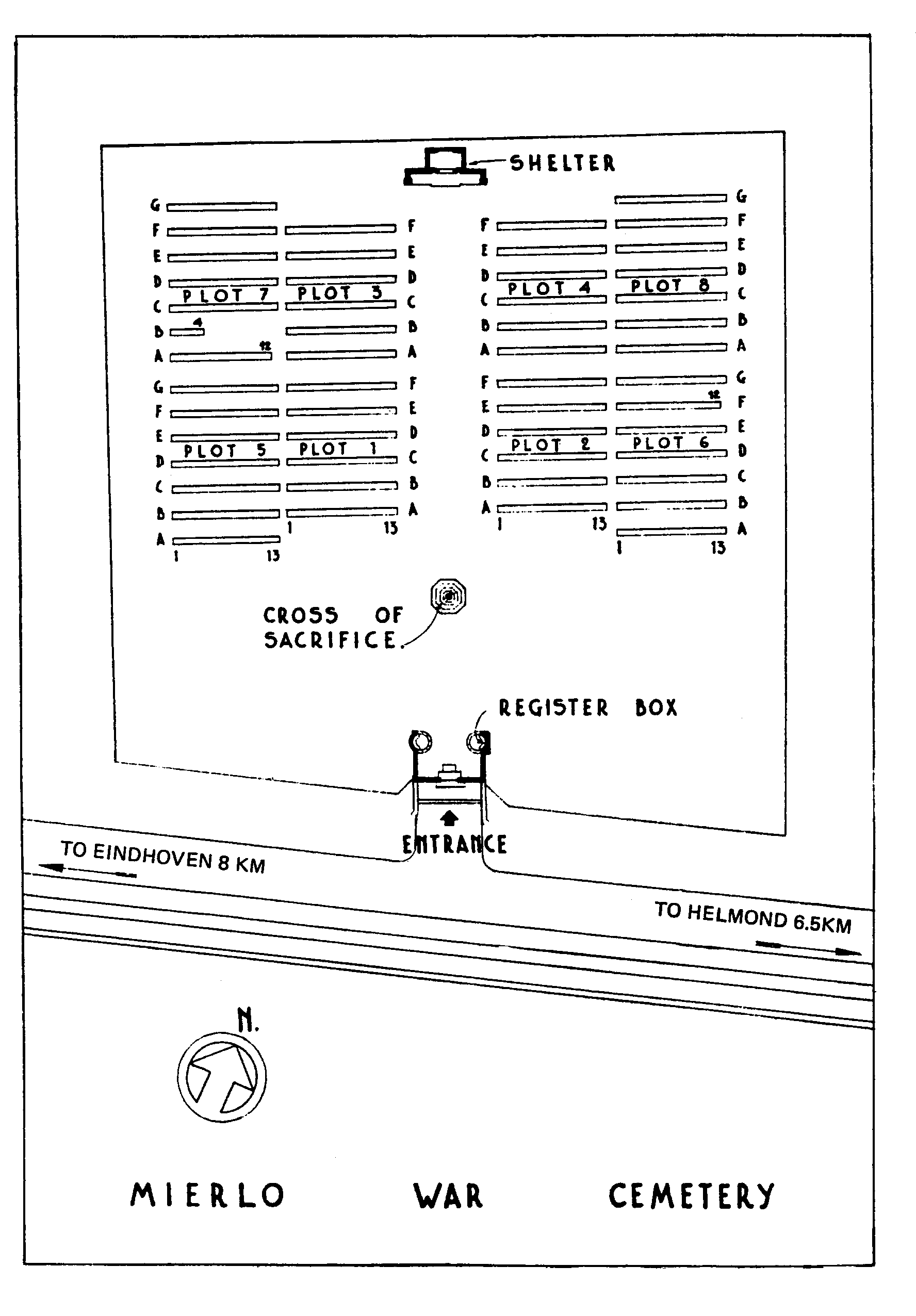
Mierlo War Cemetery
- Country Netherlands
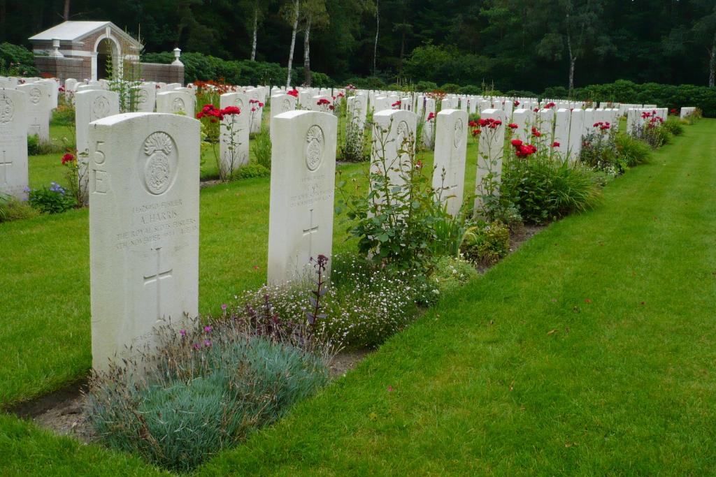
- Total identified casualties 658 Find these casualties
- Region Noord-Brabant
- Identified casualties from Second World War
- GPS Coordinates Latitude: 51.43531, Longitude: 5.59159
Location information
The village of Mierlo lies in the south of the Netherlands approx 12kms to the east of Eindhoven. From the A67 Eindhoven to Venlo motorway take exit 34 (Afrit 34) GELDROP / HEEZE and follow the signs for GELDROP. Continue for approx 1.3kms along BOGARDEIND and turn right, direction MIERLO onto LAAN DER VIER HEEMSKINDEREN and continue for approx 500m. Turn left at the roundabout and continue for approx 900m. The road name changes from DOMMELDALSEWEG to JOHAN PEIJNENBURGWEG. Turn right onto MIERLOSEWEG and continue in the direction of MIERLO for approx 2.3kms. The road name changes to GELDROPSEWEG. The cemetery is signposted and can be found on the left. The cemetery address is:- Geldropseweg 68 5731 Mierlo Netherlands GPS Location is:- N 51 26 09 E 05 35 49
Visiting information
Wheelchair access to cemetery possible via the main entrance.
History information
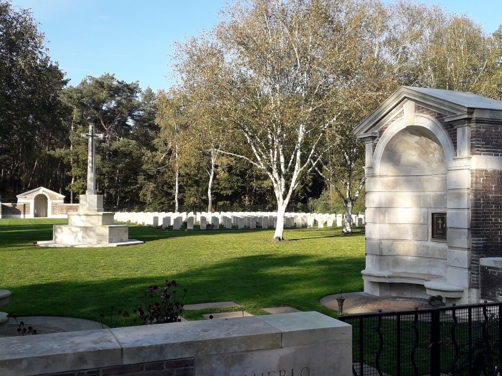
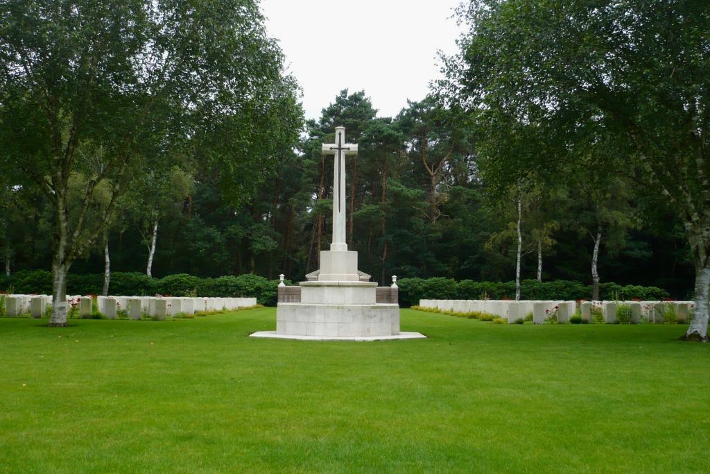
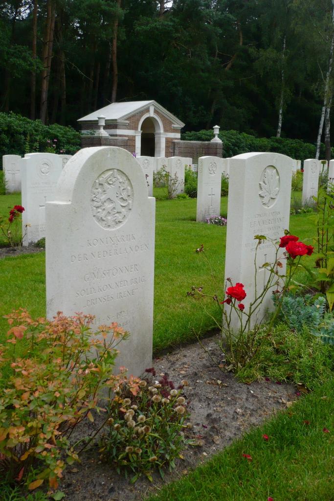
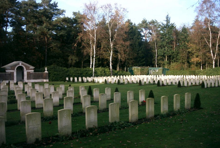
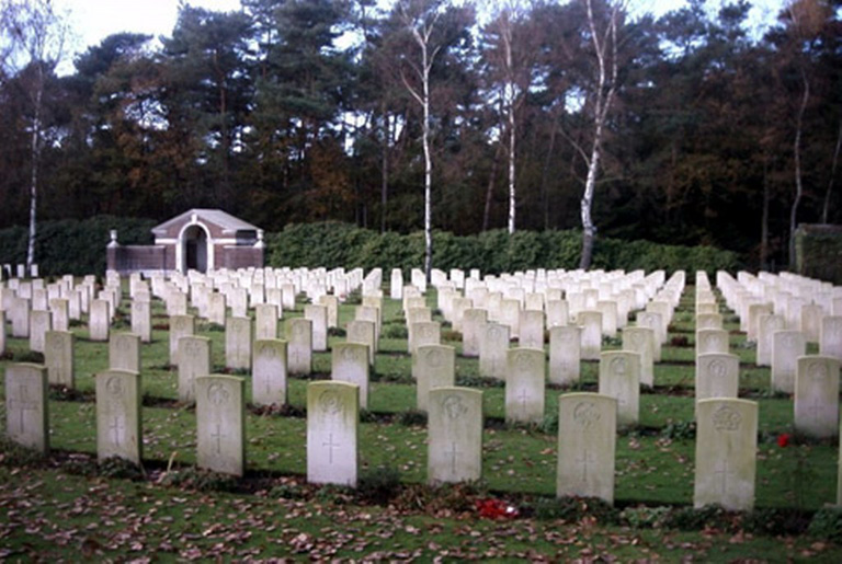
The cemetery was started in the spring of 1945 when graves were brought in from the surrounding district, most of them being casualties of September-November 1944. At that time the main fighting was concerned with clearing the region south and west of the Maas and with opening up the Scheldt estuary further west. Helmond itself was occupied on 25 September, 1944. Mierlo War Cemetery now contains 664 Commonwealth burials of the Second World War, seven of them unidentified, and one Dutch war grave.